Next Gen Tag - NGT - Smart City Analytics Platform
NGT deploys as either a stand-alone sensor that is easily integrated into Wi-Fi networks, as an internal or appended drone sensor or as a downloadable mobile device application. Mobile devices running the NGT app passively detect radio frequencies from beaconing electronic devices within its operating range. That data, device type, location and date and time are sent to our cloud-based NGT backend where the data are displayed either on a map or in a database form.
The NGT Sensor Network
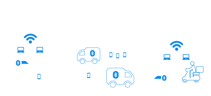
Network sensors with NGT can be scattered around an area of interest. This device allows for persistent, passive monitoring in locations with a low physical footprint.
Users can tag interesting devices and compare them to other collection points within the cloud database, apply bulk naming conventions and share them.
Smart City parking, building and infrastructure security, smart and focused emergency services, city or large event planning, security, and traffic.
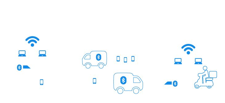
Network sensors with NGT can be scattered around an area of interest. This device allows for persistent, passive monitoring in locations with a low physical footprint.
Users can tag interesting devices and compare them to other collection points within the cloud database, apply bulk naming conventions and share them.
Market size
Expert Market Research - Currently the global Big Data market is valued at $265 billion. “The global big data and analytics market is expected to grow at a CAGR of 10% in the forecast period of 2022-2027 to attain USD 450 billion by 2026.”
IMARC Group expects the market to reach a value of US $200.07 Billion by 2027, exhibiting a CAGR of 9.60% during 2022-2027
Cision PR Newswire “Overall value of global smart cities market to exceed $2.7 trillion by 2027.”
The Parking Management Market is projected to be worth USD $6.482 bln by 2026, registering a CAGR of 10.3% during the forecast period (2021 - 2026).
NGT Products
Sensor Network
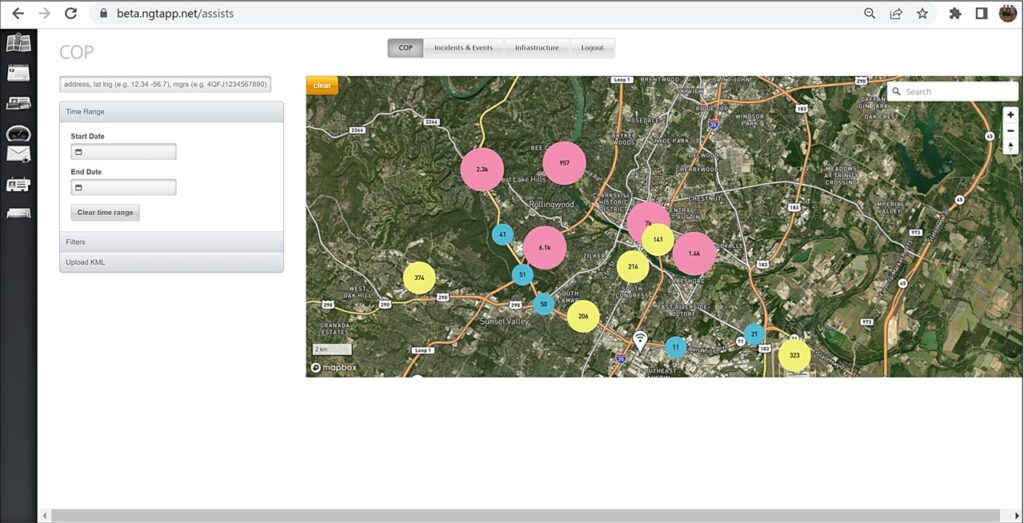
We organize data in a geo-referenced database hosted in the AWS Cloud. The database is already developed for on-premise servers and can be used for rapid communication of information and for conducting analysis. All data is rapidly exportable in CSV files.
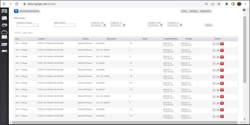
The NGT backend can take all types of data. This includes images and KML files. With little effort we can connect other databases and information that complements the data gathered by sensors and the phone app.
Sensor Device
Inexpensive Sensor
- Inexpensive and easy to deploy
- If a sensor fails – fixing or replacing it takes less that a minute
With power supply
- Extremely low power consumption, our sensor draws 240 milliamps in a 5 volt DC system
- Plugs into a wall socket or it can be hardwired into a building
- Sensors can be configured to run on batteries, and last up to two weeks on one battery pack
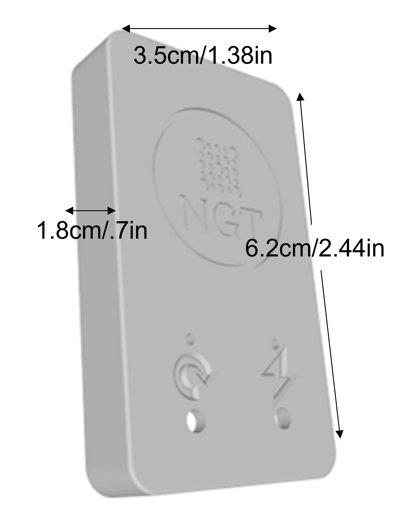
Survivability
- Sensors are designed to be simple, durable and long-lasting
- Our sensor boards are IPX-6 rated meaning that they can get wet and still continue to function
Code is tested
- Sensor codes is written in C++
- We have taken every possible measure to ensure device security
Sensor APP
The NGT phone app detects devices within ~100 meters or farther with special antennas. Displays number of detected systems (top center of app). Users can “tag” devices so that if they are detected or move out of range, the app will inform the user through differing alert types. RSSI (Received Signal Strength Indicator) may indicate relative distance. Detections automatically move to the cloud-based backend. Data is displayed by specific device, location, and date/time in either a density map or a database format.
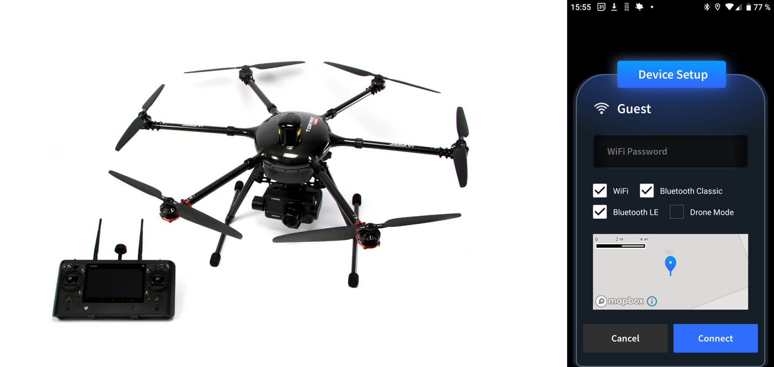
The mobile app in Device Setup mode discovers/pairs sensors including those on/in drones. The sensors then go into drone mode. We added timestamp unification to better synchronize with the drones operating system. We have two configurations: an external attachment for one to three sensors configured on the mission requirements so one, two or three sensors: Wi-Fi, Bluetooth and/or Bluetooth Low Energy. We adapted a drone (above) with internal sensors/boards – putting three boards in the hull with external antennas.

